Section Menu
Trails
COMPREHENSIVE PLANNING TRAILS PROGRAM
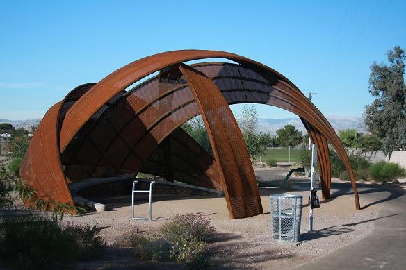
Clark County Comprehensive Planning is involved in planning and constructing off-street trails to increase recreational opportunities and provide connections to parks and open space. Trails also physically connect the users with resources and are used to satisfy social and environmental needs. As of 2023, the County has completed 80 miles of multi-use trails, 35 miles of equestrian trails, 10 pedestrian bridges and 15 trailheads and waysides. The Southern Nevada Public Land Management Act (SNPLMA) is a primary source of funding for County trails.
Overview
Trails connect people and communities by providing access to parks, schools, shopping, natural areas and employment centers. Trails can also help improve air quality and reduce traffic congestion when used as an alternate transportation choice.
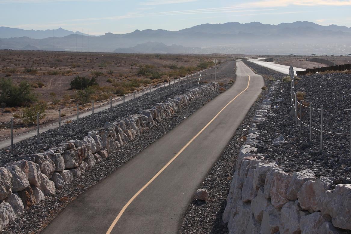
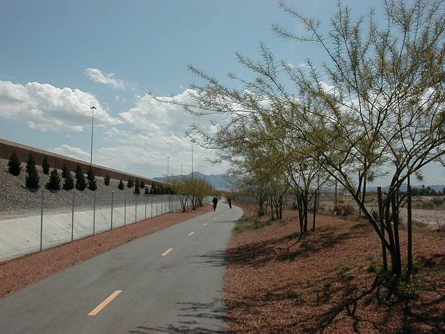
The trails program aims to plan and build safe, easily accessible and aesthetically pleasing off-street trails throughout the County. Trails are planned to be located adjacent to washes, in natural areas, and along improved flood control facilities. Rights-of-way are also considered optimal locations for trails, such as within utility corridors and adjacent to the I-215. Rural and backcountry trails are typically planned for federally managed land, such as those administered by the Bureau of Land Management (BLM). Some of these trails are also planned to connect to urban trail systems.
Regional Trails and Open Space
Clark County is working with several local jurisdictions, regional and federal agencies to coordinate the planning and building of its network of trails. Trail types include paved multi-use trails (walking, bicycling, running, wheelchairs, in-line skates) and both unimproved and improved equestrian trails. The County trails are part of the Neon to Nature system.
The Neon to Nature system increases access to the regional trail system, which is planned for hundreds of miles of trails throughout the Las Vegas Valley. Connections to the surrounding federal lands is also part of this trail system. The Southern Nevada Health District (SNHD) hosts a trail finder tool which uses the Neon to Nature trail system. Users can access the interactive map to locate trails and access trail information such as length, location, maps, amenities and difficulty levels. The Las Vegas Valley Rim Trail is an ongoing project that envisions a 113-mile loop trail encircling the Las Vegas Valley and connecting to other existing trails and recreation areas in and around the Las Vegas Valley.
Connections: Trails and Parks
County trails also help provide connections to many of the local and regional parks. Two of the largest parks are the 214-acre Sunset Park and the 2,900-acre Wetlands Park. The Duck Creek Trailhead at Wetlands Park connects to the Duck Creek Trail. The Wetlands Loop Trailhead, Pabco Trailhead and Wells Trailhead all connect to the Wetlands Loop Trail, an 11-mile trail that follows the Las Vegas Wash.
Parks and trails provide opportunities for physical activity and are important resources for residents and visitors. Many parks have walking trails, also known as park paths. Some of these park paths connect to off-street trails. For example, Sunset Park has 3.5 miles of park pathways, with the shortest being ¼ mile and the longest 1 mile.
See Parks and Recreation for information about County park and recreation services. To locate specific parks, see the Parks Locator Tool for information including locations, features, photos and directions to the parks.
- Tropicana/Flamingo Washes Trail (County YouTube)
- Duck Creek Trail and Trailhead (County YouTube)
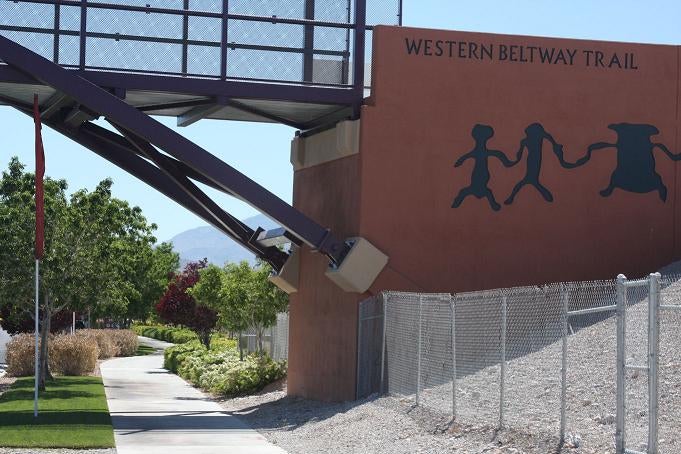
- The Western Beltway Trail (County YouTube)
- The Bunkerville Trail (County YouTube)
- I-215 East Trail (County YouTube)
- Las Vegas Wash Trail (County YouTube)
- Flamingo Arroyo Trail (County YouTube)