Section Menu
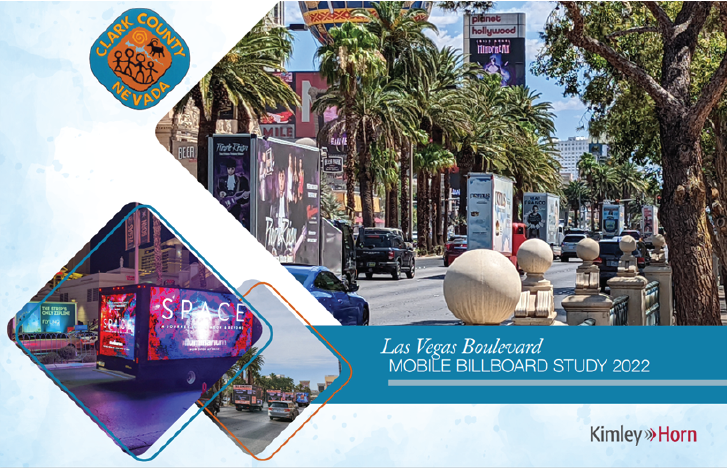
Las Vegas Boulevard Mobile Billboard Study
- Development
- Accela Citizen Access Portal
- Activity Queue Report
- Contact Us
- Construction Management/ Inspection
- Development Review
- FAQ
- Forms
- Map Team
- Accela Citizen Access (ACA) - Pay Fees
- Administrative Vacation of Patent Easements (VAPE)
- Application Pre-Review (APR)
- Boundary Line Adjustment (BLA)
- Certificate of Amendment (CofA)
- Major Subdivision Map (Final Map-NFM)
- Minor Subdivision Map (Parcel Map-MSM)
- Monument Tie Map
- Record of Survey – Las Vegas Boulevard (RS)
- Restrictive Covenant Running with the Land (deed restriction)
- Reversionary Map (Minor (RPM) and Major (RM))
- Separate Document (SD)
- Online Records Research
- OpenWeb
- Resources
- Survey Benchmark Book
- Clark County Supplement to the Uniform Standard Drawings and Specifications
- Las Vegas Boulevard Pedestrian Study
- Minimum Road Design Standards For Non-Urban Roadways
- "No Cut" Streets List
- Regional Transportation Plan
- RTC Uniform Standard Drawings and Specifications
- Title 30 Development Code
- Traffic Sign Manual
- Programs and Services
- Report Issues
- Projects
- Resort Corridor (Las Vegas Strip)
- Streetlights
- Resources